
Horton Plains
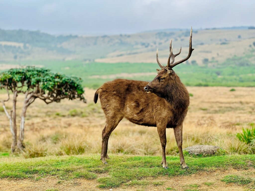
At 2,100 metres, Horton Plains is the highest and flattest landscape in Sri Lanka. The 9-kilometre circuit trail passes through montane cloud forest to World’s End: a sheer escarpment where the plateau simply stops and the lowland plains 900 metres below open out on a clear morning. Baker’s Falls on the return. The 6am departure is non-negotiable.
Knuckles Mountain Range
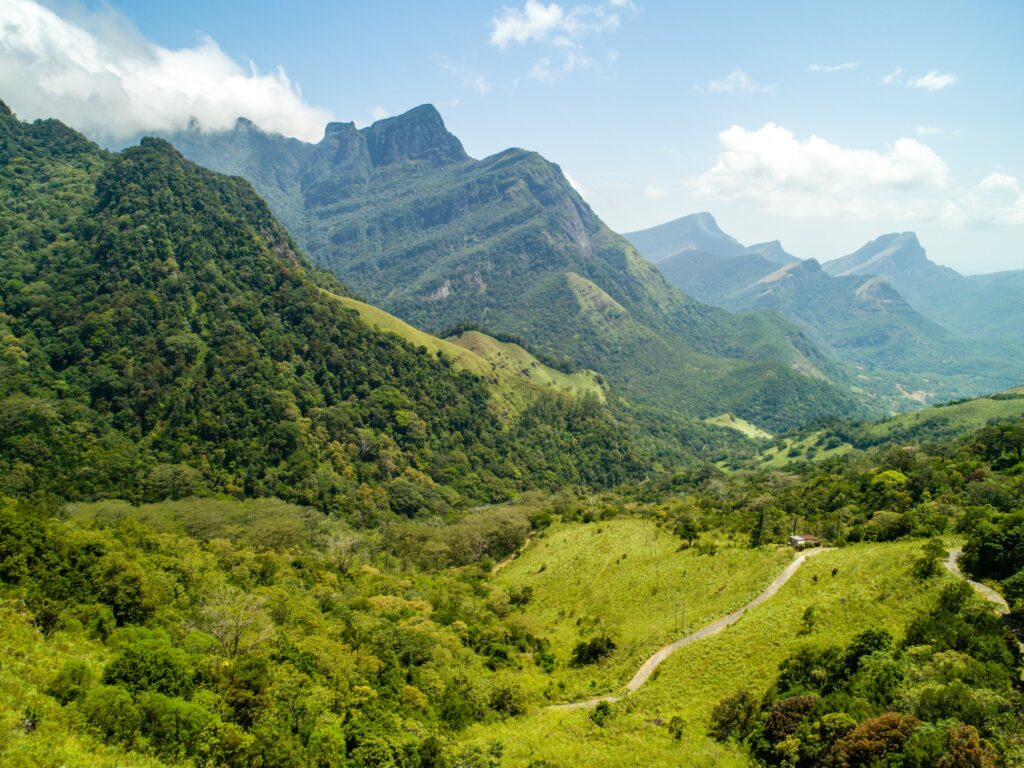
The Knuckles are a separate highland ecosystem east of Kandy – cloud forest above 1,500 metres, endemic wildlife, river crossings and trails ranging from gentle village paths to full-day ridge routes. Almost none of Sri Lanka’s standard itineraries include it. The near-absence of other visitors is one of its defining qualities.
Nuwara Eliya
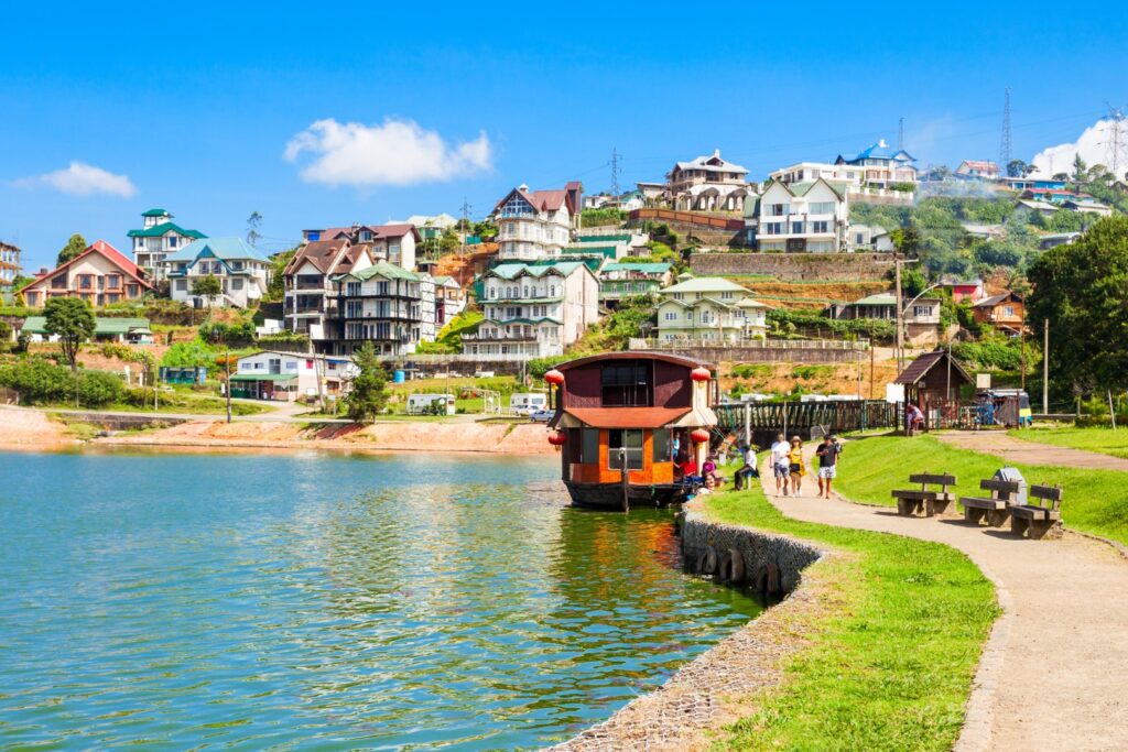
Nuwara Eliya was built by the British to feel like home and the result is genuinely strange and wonderful – a Victorian post office, a racecourse, a hill club with a dress code and tea estates across every visible hillside. The cold air, the colonial buildings and the estate landscape combine into something unlike anywhere else in South Asia.
Ella
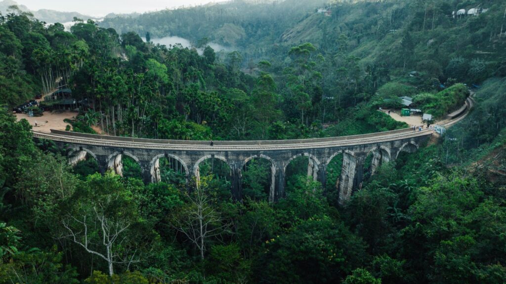
Ella works because several things coincide: a dramatic valley gap with views 40 kilometres south, the Nine Arch Bridge as the island’s most photographed structure, tea estates within walking distance and a genuine independent cafe and food culture. At the right time of morning – early, mist still in the valley, no one else on the trail – it is very close to perfect.
Hatton – Tea Trails Country
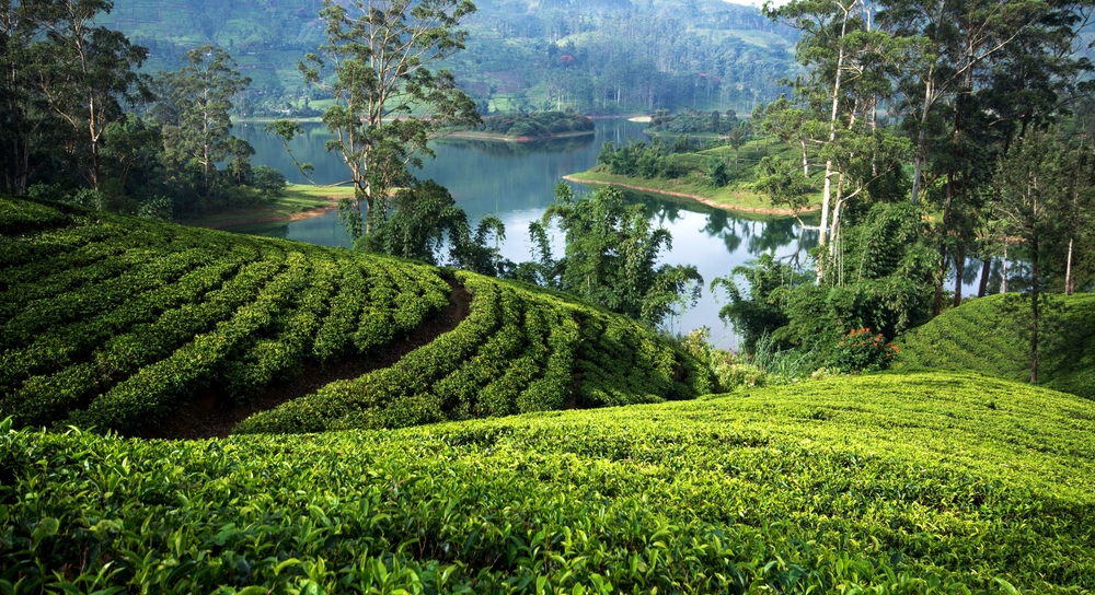
Hatton is deeper into the tea country than Nuwara Eliya and accordingly less visited. The Tea Trails private bungalows – each converted from a colonial planter’s residence on a working estate – are among the most atmospheric stays in Sri Lanka. The butler service, the fireplace evenings and the dawn mist over the plantations reward those who stay more than one night.